Stellar farm field day line up
The Mudgee Small Farm Field Days are celebrating their 40th anniversary this year and Watershed Landcare will be there to celebrate with a full program of displays, workshops and lectures.
From livestock handling to backyard beekeeping, there’s something of interest for everyone at Watershed Landcare’s lecture series.
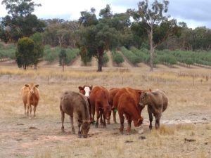
Bruce Maynard, Stress Free Stockmanship, will show you how stockmanship skills can change animal behaviour to aid in weed management and grazing management and how you, and the animals, can have less stress.
Organic, seasonal or local; what is the best way to shop and eat sustainably? Agro-ecologist David Hardwick will de-mystify the modern food system and show how your choices impact on the environment, farmers and your health.
Find out how you can not only run a productive farm but regenerate soils, repair riparian systems and erosion by working with nature’s designs. Adon Bender, Hazelcombe Farm, will cover water-harvesting methodology, minimal and controlled disturbance soil management for perennial, annual and animal systems, soil-food-web-structures and how all these factors interrelate and influence one another.
Author and self-proclaimed ‘beevangelist’, Doug Purdie will be back to show you how keeping bees on a small scale is easy, rewarding and helps the environment by providing pollination and as a bonus you get your own honey! Doug will walk through the types of hive, the basic equipment and the do’s and dont’s of backyard beekeeping.
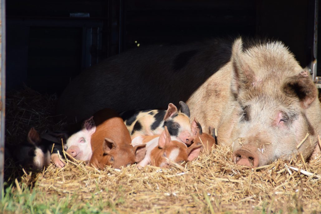
There will also be talks on free range pig keeping and solar passive design and building with natural materials.
Visit our website for the full program: http://watershedlandcare.com.au/events.
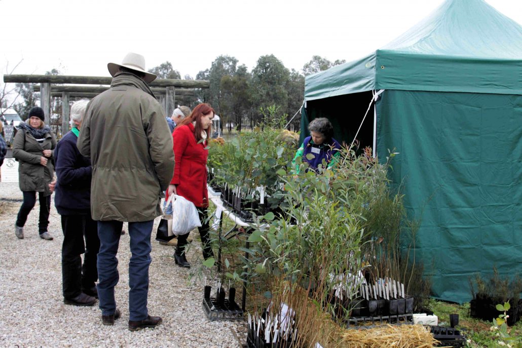
Watershed Landcare will have a selection of locally grown, native tube stock for sale at the Mudgee Small Farm Field Days this weekend.
We will also have plenty of information and displays at the Waterwise Garden demonstration site (L9), drop by and find out what we do, how to get involved in our projects and become a member.
We’ll be running workshops to help you identify serrated tussock from the innocent, native bystanders and teach you how to build your own bee motel.
You can bring along any mystery plants you have growing in your paddock or bushland for identification, see our display of hardy, salt and drought tolerant plants for the Mudgee district, and we will have a selection of locally grown, native tube stock for sale.
These events are supported by Watershed Landcare and are a part of the NSW Government’s Local Landcare Coordinators Initiative, supported through the partnership of Local Land Services and Landcare NSW.
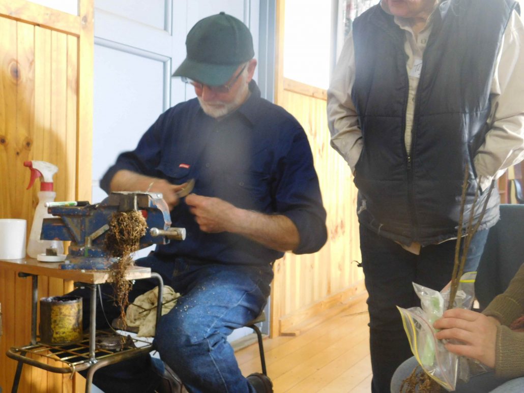 The Heritage and Rare Fruit Network has been conducting grafting workshops each year since 1990 with the aim of propagating and sharing heritage fruit trees which people of past generations cultivated as part of a more self-reliant lifestyle.
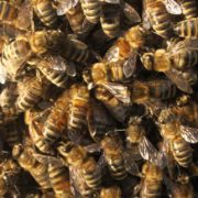 After a successful and booked our course earlier in the year, the Mudgee Bee Group have invited Bruce White OAM back to deliver another beekeeping course in August.
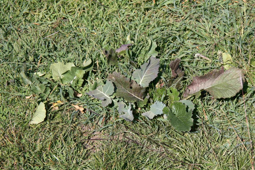

 Then follow us out to the lovely Karrabool Olives on Botobolar Road where David Sargeant and Judy Rogers hope to reduce the runoff which is causing sheet and rill erosion through their olive grove. Here participants can get their hands dirty and learn how to construct small rock structures to slow and spread waterflow.
 When we think of the ecosystem services provided by trees, we often picture large stands of forest. But scattered paddock trees are also an important part of the landscape and deliver multiple benefits on healthy and productive farms.