Enhancing Box Gum Woodland
Prior to European settlement Box Gum Grassy Woodlands were widespread from Central Victoria through to Southern Queensland, occurring along the western slopes and tablelands of The Great Dividing Range including the Mid Western Regional Council region.
Box Gum Grassy Woodland is the shortened name given to the endangered ecological community ‘White Box, Yellow Box, Blakely’s Red Gum Grassy Woodland’. This vegetation community occurs as open woodland, typically with 20 to 30 trees per hectare, and is dominated by the eucalypts White Box, Yellow Box and/or Blakely’s Red Gum. It is also characterised by a diverse understorey; an assorted mix of native grasses and herbs but with a sparse shrub layer.
Much of this vegetation community has been eradicated or heavily modified. This is largely due to the productive and fertile clay loam soils where Box Gum Grassy Woodlands occur also being highly valued for agriculture. As well as providing useful timber for construction and firewood, trees were cleared make way for cropping or livestock and the diverse herbaceous layer replaced with crops or improved pastures.
Today less than 4% of Box Gum Grassy Woodland remains, much of which is highly fragmented and in poor ecological condition.
Watershed Landcare have been working with farmers and landholders to improve the extent and quality of Box Gum Woodland and to improve linkages between remnant native vegetation in our district.
As part of the Patches and Paths project, incentive funding was provided to landholders to conduct on-ground works including fencing around remnant native vegetation clusters; fencing to enable changed grazing management to allow natural regeneration of woodland vegetation species; and in-fill planting to increase the diversity of understorey species.
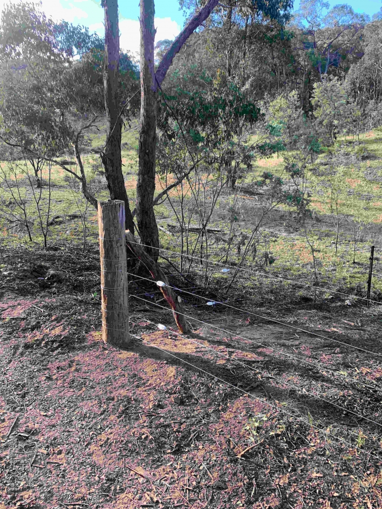
During year 1 of this 4 year project, works were conducted to enhance biodiversity and increase active management over 4.3 ha, while also augmenting connectivity to other paddock trees and remnant vegetation in the landcscape. The project sites will also provide production benefits to the agricultural landscapes where they were conducted; shade and shelter for livestock and crops, habitat for pollinators as well as birds and bats beneficial for pest control, improved soil structure and fertility as well as aiding in the management of salinity.
For more information about the Patches and Paths project or to submit an EOI for years 2-4 please visit our website: http://watershedlandcare.com.au/projects/patches-paths.
The Watershed Landcare Patches and Paths project is supported by Local Land Services through funding from the Australian Government and is a component of the Driving Corridor Connectivity Project funded through NLP2.