A Geological Marvel – The Drip
Published 21st October 2022. Written by Maddison O’Brien
The Drip has been the focus of much attention in recent years. It is a special place characterised by stunningly dramatic and unique rock formations cradling the Goulburn River. There is an ongoing campaign to protect the site from the impacts of mining, and you can even find a mural painted there by Australian artist Brett Whitely.
Long before Brett Whitely was born, this sacred place on Wiradjuri Country was cherished as a ceremonial place for Indigenous Women. This unique landscape has evolved alongside the First Nations people for millennia, and it still holds deep cultural significance today. Mudgee Arts Precinct is currently showing Ngayirr Ngurambang: Sacred Country exhibition, which sees Aboriginal artists respond to The Drip and its history. The exhibit is well worth a look before it closes on 22nd December.
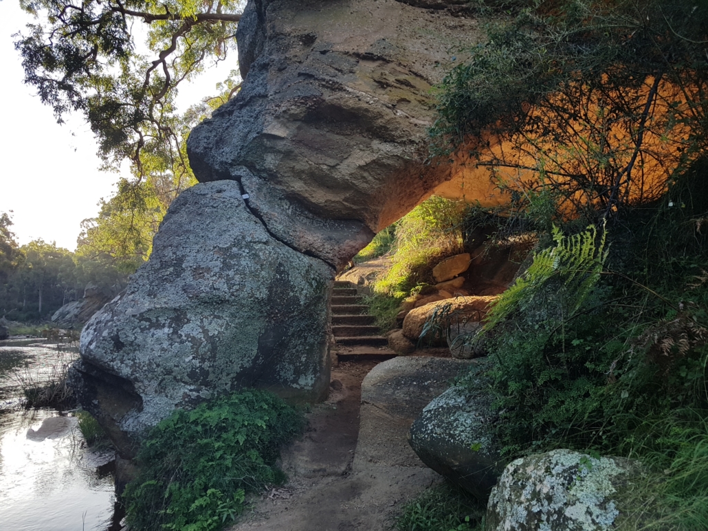
Photo by Dr Julia Imrie
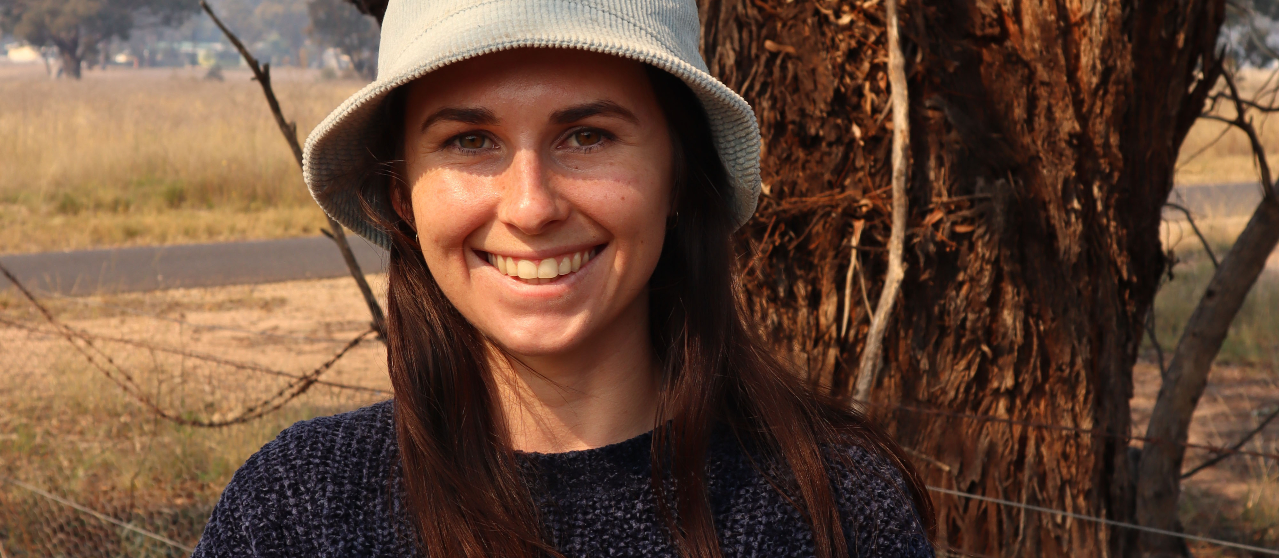
I spoke to Dr Julia Imrie, who did her PhD thesis on ‘Changing land use in an uncertain climate; impacts on surface water and groundwater in the Goulburn River. We chatted about her findings. Julia says, “The Goulburn River exposes a complex geological history.” The sandstone cliffs and gorges of The Drip are of Triassic sedimentary geology, the same as seen through the Blue Mountains, which extends towards The Drip as the lowest point of the Great Dividing Range.
“The river depends on groundwater and has a permanent underground flow which allows riparian vegetation to thrive; some species are only elsewhere found in coastal wetlands. The groundwater and the plant species that rely on it are extremely vulnerable to the effects of mining.” Dr Imrie says.
Interestingly, The Drip is a point where East meets West in terms of biodiversity. The region supports a diverse mix of eastern and western plant and animal species, and the area demonstrates a transition in geological formation. “Along the base of The Drip Gorge, the ironstone layer is exposed below a wall of sandstone 35m high. I call this the ‘window into the groundwater,’ as the impermeable ironstone layer forms the bed of the Goulburn river.”
We’ll take a guided walk to The Drip on the 27th of October 2022 to explore the many layers of cultural, environmental and historical complexity. You will understand The Drip like never before. Accompanied by geologist Chris Pavich, we’ll take a walk back in time and understand how this one-of-a-kind location came to be.


